Culture and history info
Hydrology
The drainage basin of Ayung river covers an area of 109.30 km², with the tributaries may reach 300.84 km² (about 30,000 ha). The river flows 68.5 km from its source near Kintamani, along the southern slope of the mountains separating northern and southern area of Bali, finally to the Padanggalak Beach, Sanur. At upriver, three big tributaries supply the water to Ayung river, namely Tukad Bangkung with the upstream at Pelaga, Tukad Menggani with the upstream at Catur, and Tukad Siap with the upstream at Kintamani. The confluence of these three tributaries is located at Payangan.
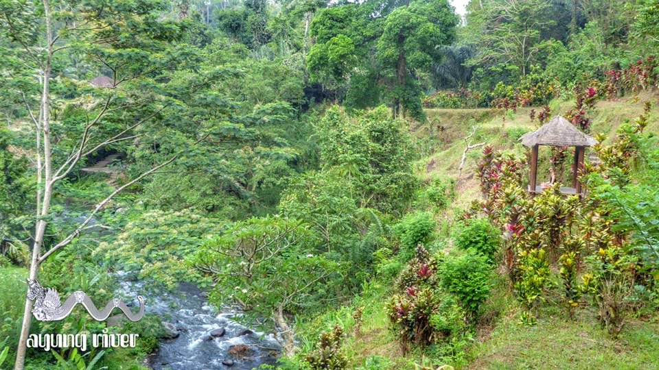
The erosion rate is relatively low in the rice field area at upstream and in the middle, due to flatter slopes and good land conservation techniques.
Geography
Ayung river watershed area has an annual average temperature between 18.4 °C to 26.6 °C, depending on the altitude. The average annual rainfall at the upstream is high, around 1963–3242 mm. Going downstream at an average inclination of 13.13%, the rainfall and the rainy days on the river decrease. In the middle area, the average rainfall is around 1998–3176 mm with 105 -128 average rainy days. At the downstream, near the city of Denpasar, the rainfall becomes low, around 1486 mm with 69 average rainy days.
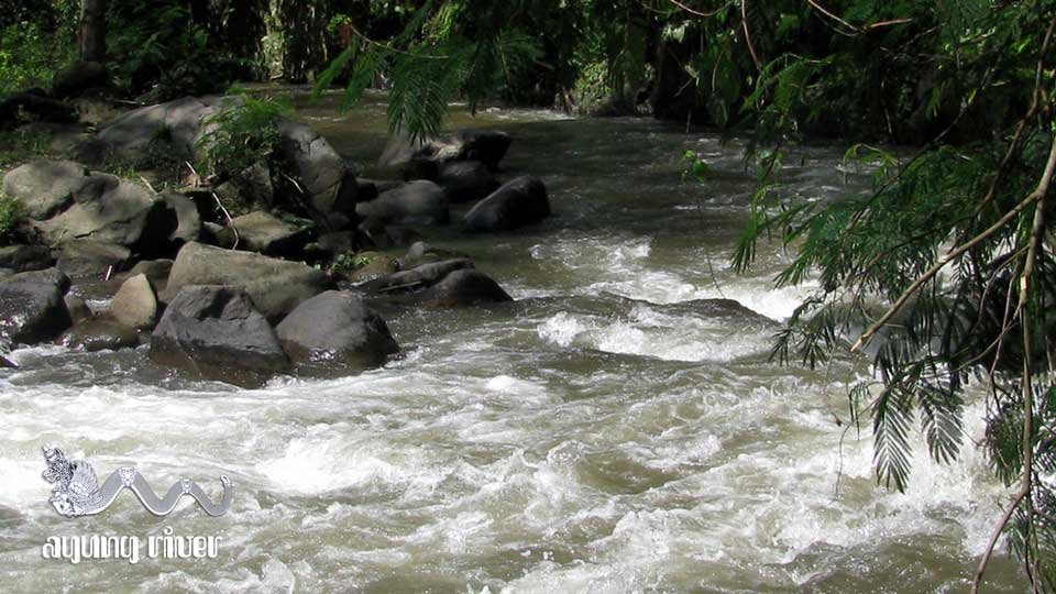
The drainage basin has two types of topography: mountainous and flat. The water debit measured in 1973-1986 is around 6.6-14.2 m³/second with an average of 8.69 m³/second. The sedimentation level at Buangga shows the highest at 544.4 ton/day and the lowest at 2.8 ton/day, with the calculated total (SCS-USDA method) of 91,393.127 ton/year.
Land use
The main use of river drainage basin of Ayung is for agriculture. Scenic views mainly are observed at upriver, especially from Petang to Carangsari, with little human influence. Many challenging rapids make this river a good location for rafting.